Quick answer
This guide explains john harrison and the clock that solved longitude in plain language, with the exact figures and how to work them out yourself.
Last updated: August 1, 2026
- Today
- Sunday, 1 November 2026 · ISO week 44 · day 305 of the year
Computed on every visit from the time-zone database and standard astronomical formulas, so these never go stale. The article below is unchanged.
For centuries, sailors could find latitude from the sun and stars but not longitude — east-west position — and the ignorance killed. After a navigational blunder wrecked a Royal Navy squadron on the Scilly Isles in 1707 with the loss of nearly two thousand men, Britain’s Parliament passed the Longitude Act of 1714, offering up to £20,000 — a colossal fortune — for a practical method accurate to half a degree on a voyage to the West Indies.
The principle was long understood: longitude is time. Earth turns 15 degrees per hour, so a navigator who knows both local time (from the sun) and the time at a reference port can convert the difference straight into degrees east or west. The obstacle was carrying the reference time: pendulum clocks died at sea, and no watch of the era could hold accuracy through months of rolling decks, salt air, and temperature swings. The learned consensus favored astronomy instead — the intricate “lunar distance” method of reading time from the moon’s position among the stars.
The Geometry of Longitude: Converting Time to Distance
Because the Earth completes a full 360-degree rotation relative to the sun once every 24 hours, time and longitude are mathematically interchangeable. The fundamental conversion values used in marine navigation break down as follows:
- 15 degrees of longitude = 1 hour (60 minutes) of time difference
- 1 degree of longitude = 4 minutes of time difference
- 15 arcminutes of longitude = 1 minute of time difference
- 1 arcminute of longitude (1 nautical mile at the equator) = 4 seconds of time difference
Worked Example: Finding Ship Position at Sea
To see how a marine clock works in practice, consider a 18th-century navigator taking readings in the middle of the Atlantic Ocean:
- Determine Local Solar Noon: Using a sextant, the navigator measures the sun’s angle above the horizon until it reaches its highest vertical peak. At that exact moment, the local solar time on the ship is 12:00 PM.
- Read Greenwich Reference Time: The navigator looks at the ship’s onboard marine chronometer set to Greenwich Mean Time (GMT). The clock reads 3:20 PM (15:20).
- Calculate Time Offset: Subtract local time (12:00) from reference time (15:20). The difference is 3 hours and 20 minutes. Because Greenwich time is ahead of local time, the ship is west of Greenwich.
- Convert Time Offset to Longitude Degrees:
- 3 hours × 15 degrees per hour = 45 degrees
- 20 minutes ÷ 4 minutes per degree = 5 degrees
- Total Position = 50° West Longitude
The precision required by the 1714 Longitude Act was half a degree (30 arcminutes) after a six-week voyage to the West Indies. At the equator, half a degree corresponds to 30 nautical miles. Since 4 seconds of clock error equals 1 arcminute of longitude, a timekeeper could not gain or lose more than 2 minutes (120 seconds) over the entire multi-month journey.
Harrison’s Engineering Breakthroughs: H1 Through H4
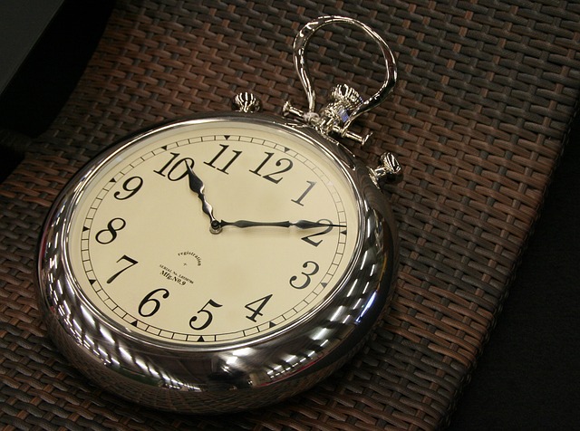
John Harrison, a self-taught Yorkshire clockmaker, bet on machinery. Across four decades he built four marine timekeepers: H1, a gleaming spring-balanced machine immune to the pendulum’s failings; H2 and H3, each solving problems the last revealed, introducing inventions like the bimetallic temperature compensator and caged roller bearings still in use today. Then came the leap: H4, finished in 1759, abandoned the large-machine approach entirely for a five-inch watch of exquisite precision. On its 1761–62 trial to Jamaica it lost mere seconds — comfortably inside the prize’s demand.
Mechanical Evolution of the Timekeepers
- H1 (1735): A 75-pound portable clock utilizing two connected, counter-oscillating balance weights. Because the weights were linked, ship pitching affected both equally in opposite directions, canceling out external kinetic interference. Harrison used naturally oily lignum vitae wood for gears, eliminating liquid lubricants that altered viscosity at sea.
- H2 (1739) and H3 (1759): Smaller, refined versions addressing subtle temperature changes. During H3’s seventeen-year development, Harrison invented the bimetallic strip—joining brass and steel strips together so differential heat expansion adjusted spring length automatically—and caged ball bearings to eliminate internal axle friction.
- H4 (1759): A dramatic design shift from large wooden-geared clocks to a pocket watch layout measuring 5 inches in diameter. Operating at a high tick rate (5 beats per second) to resist motion shocks, H4 utilized diamond pallets, a balance spring with a special temperature curve, and a remontoire (a secondary spring wound every 7.5 seconds) to supply uniform power to the escapement.
Chronometer vs. Lunar Distance Method
The reward came grudgingly. The Board of Longitude, dominated by astronomers including the Astronomer Royal Nevil Maskelyne — champion of the rival lunar method — demanded retrials, disclosure, and duplication, paying in reluctant installments. Only in 1773, after the aged Harrison petitioned King George III himself (“By God, Harrison, I will see you righted!”), did Parliament grant the balance of his due.
The two competing methods evaluated by the Board of Longitude differed sharply in operational execution, cost, and technical demands:
| Comparison Factor | Harrison’s Marine Chronometer | Lunar Distance Method |
|---|---|---|
| Core Mechanism | Mechanical spring watch (H4 design) | Moon position relative to background stars |
| Primary Equipment | Marine chronometer in gimbals | Sextant, log tables, astronomical almanac |
| Calculation Time | Under 2 minutes (simple time subtraction) | Up to 4 hours of complex mathematics |
| Weather Constraints | Operates regardless of cloud cover | Requires clear night sky to observe stars |
| Skill Requirement | Basic clock reading and arithmetic | Advanced navigation and astronomy training |
| Early Costs | High initial hardware cost (£60–£100+) | Low equipment cost (paper tables and sextant) |
Common Practical Problems and Mechanical Fixes
Navigating with mechanical clocks required solving three major environmental vulnerabilities that destroyed ordinary timekeepers on ocean voyages:
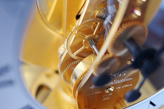
- Problem 1: Temperature Fluctuation. Metals expand in equatorial heat and contract in cold high latitudes, changing balance spring tension and causing clocks to run slow or fast.
Fix: Harrison’s bimetallic compensator strip bent mechanically as temperatures shifted, shortening or lengthening the balance spring automatically to maintain constant timing. - Problem 2: Wave Motion and Kinetic Shock. Rolling decks destroyed the steady gravity-based beat required by pendulum clocks.
Fix: Harrison replaced pendulums with counter-weighted balance beams (H1–H3) and fast-beating balance wheels (H4) mounted inside universal gimbal joints that kept the mechanism level relative to the horizon. - Problem 3: Lubricant Degradation. Ocean air dried out plant and animal oils, causing severe friction, gear binding, and rust.
Fix: Harrison used self-lubricating tropical woods (lignum vitae) in early clocks and synthetic jewel bearings (rubies and diamonds) with minimal lubrication in H4.
Limitations: Who the Early Chronometer Did Not Suit
While Harrison’s H4 proved that mechanical longitude was possible, chronometers did not instantly solve navigation for every sea vessel:
- Small Merchant Ships and Private Owners: Early commercial copies of H4 remained expensive precision instruments throughout the late 18th century. Small merchant brigs and coastal vessels could not justify spending £80—often representing a major fraction of a ship’s outfit budget—when lunar tables cost only a few shillings.
- Single-Point Dependency: Carrying only one chronometer was risky; if it stopped, suffered a drop, or picked up internal dirt, the navigator lost reference time without knowing it. The gold standard became carrying three chronometers to cross-verify time (if one disagreed, the other two showed which clock was correct), a luxury only naval fleets and wealthy trading companies like the East India Company could afford.
Legacy and Modern Time Navigation
Copies of H4’s principles, made affordable by later makers, became the marine chronometer that guided Cook’s voyages and a century of navigation — Greenwich time carried in a box, the reason the world’s zero meridian runs through that observatory today.
Every longitude line on a modern map, and every offset in the world clocks at itsdately.com, still speaks Harrison’s equation: time, converted into where you are.
The irony of the contest is that both sides won: Maskelyne’s lunar tables, published as the Nautical Almanac from 1767, gave navigators a cheap astronomical method for decades, while chronometers — at first costing as much as a small ship’s cargo — fell in price until every vessel carried several. Captains ran the methods against each other, and the sea itself judged: by the mid-nineteenth century the chronometer’s convenience had retired the moon.
Harrison’s machines survive as working celebrities. H1 through H4 are displayed at the Royal Observatory in Greenwich — the first three still running, wound daily by curators — and H4, too precious to run, rests under glass a few steps from the meridian line its descendants made meaningful. Dava Sobel’s book Longitude carried the story to millions, completing the vindication Parliament granted so grudgingly.
Frequently asked questions
Why was finding longitude at sea much harder than finding latitude?
Latitude is anchored to physical markers: the height of the midday sun or Polaris above the horizon directly indicates your angle from the equator. Longitude has no natural celestial zero line, and because the Earth rotates continuous 15-degree steps every hour, east-west position can only be measured by calculating time differences against a fixed reference point.
How accurate was John Harrison’s H4 watch on its ocean test?
During its 1761–1762 trial aboard HMS Deptford sailing from Portsmouth to Jamaica, H4 lost just 5.1 seconds over 81 days at sea (after correcting for its known rate of change). This performance was three times better than required to win the full £20,000 prize under the Longitude Act.
What is a grasshopper escapement?
The grasshopper escapement is a low-friction clock mechanism invented by John Harrison. It uses two articulated pallets that catch and release the escape wheel teeth with almost no sliding friction, operating quietly without requiring liquid lubricants that degrade over time.
Why is the Prime Meridian located in Greenwich today?
Because British sea power dominated 19th-century trade and Britain’s Royal Navy carried marine chronometers synchronized to Greenwich Mean Time (GMT), most of the world’s merchant shipping maps already used Greenwich as zero longitude. It was formally adopted as the international Prime Meridian in 1884.
Related on itsdately: How Sundials Work (and How to Read One Correctly) · Before Mechanical Clocks: Water Clocks, Hourglasses, and Candle Time · The Oldest Working Clocks in the World
Further reading: Royal Museums Greenwich — home of Harrison’s H1–H4
Related read: Phila Sunset Times: Your August Guide to Golden Hours.